
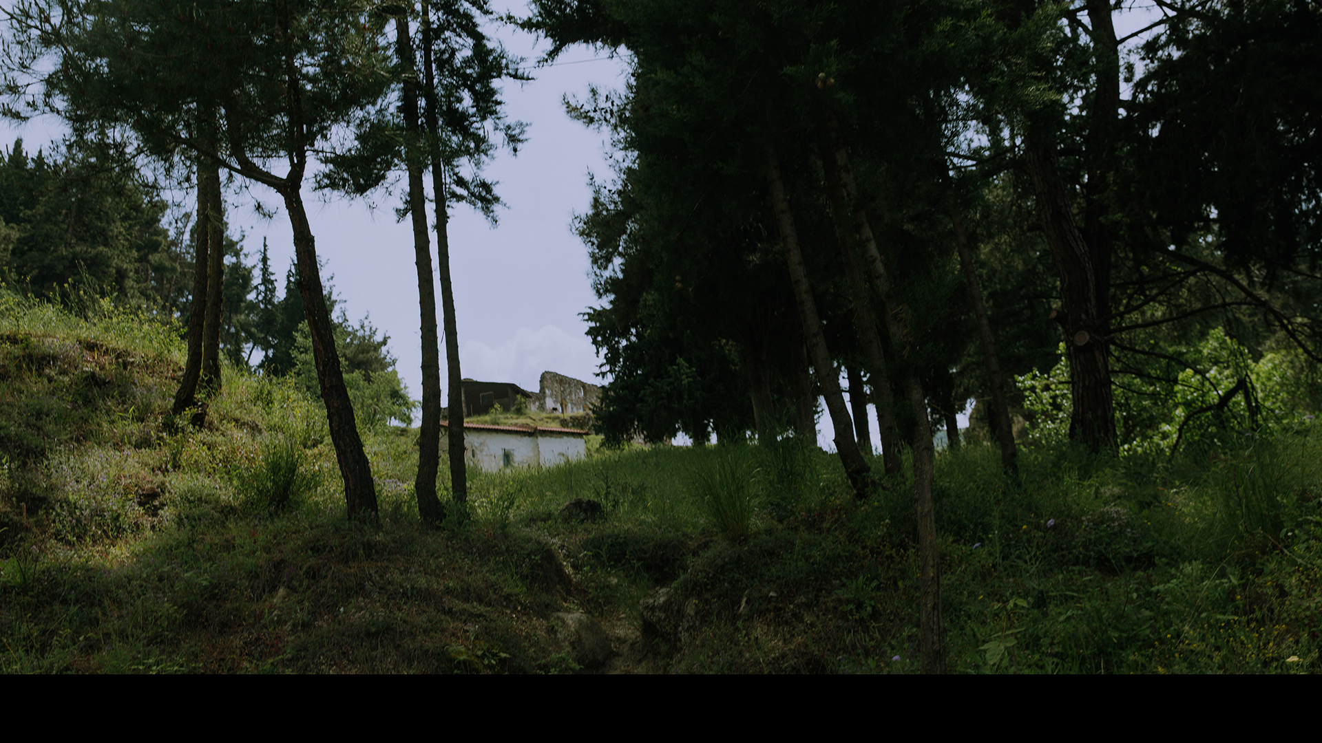
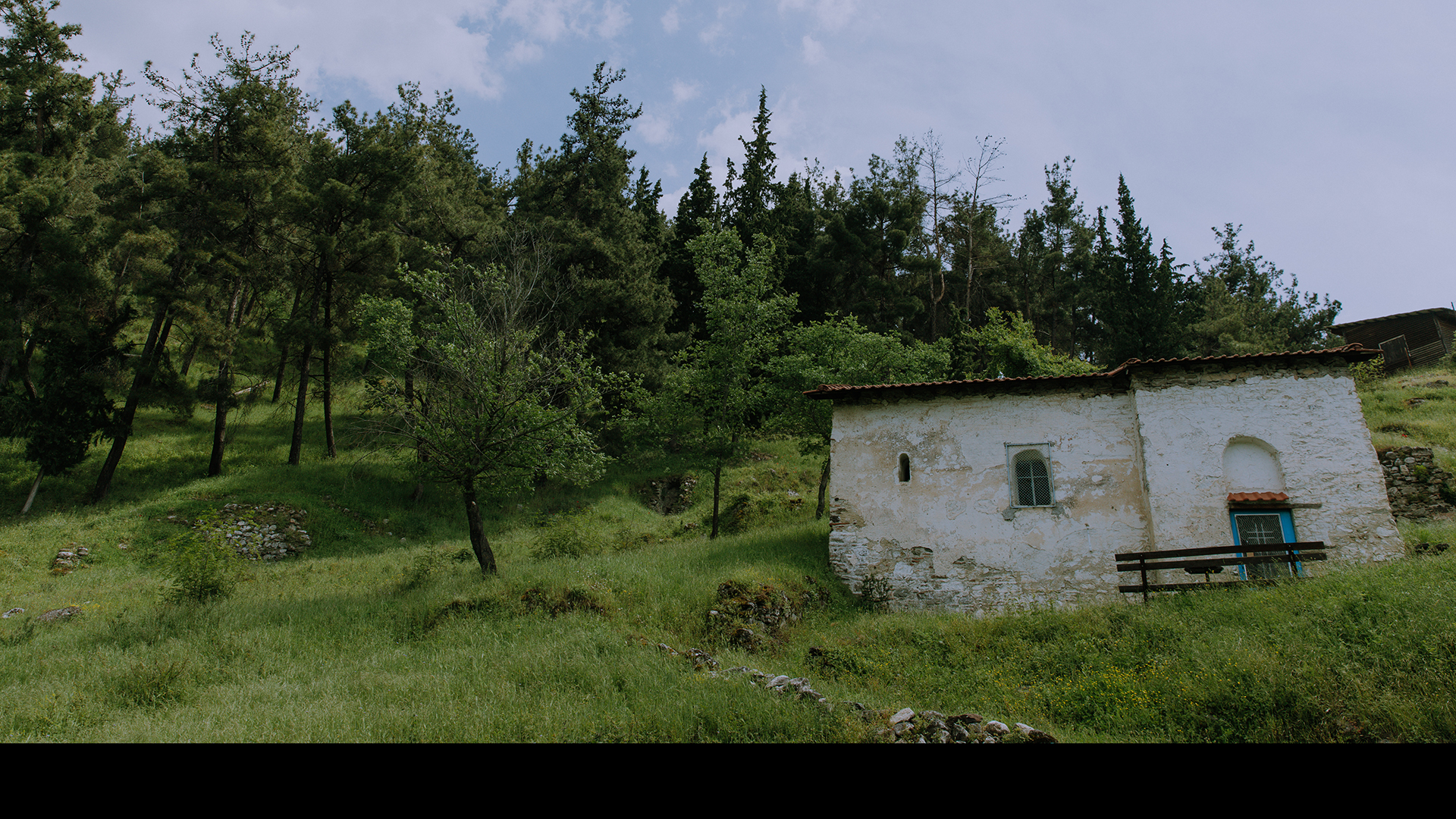
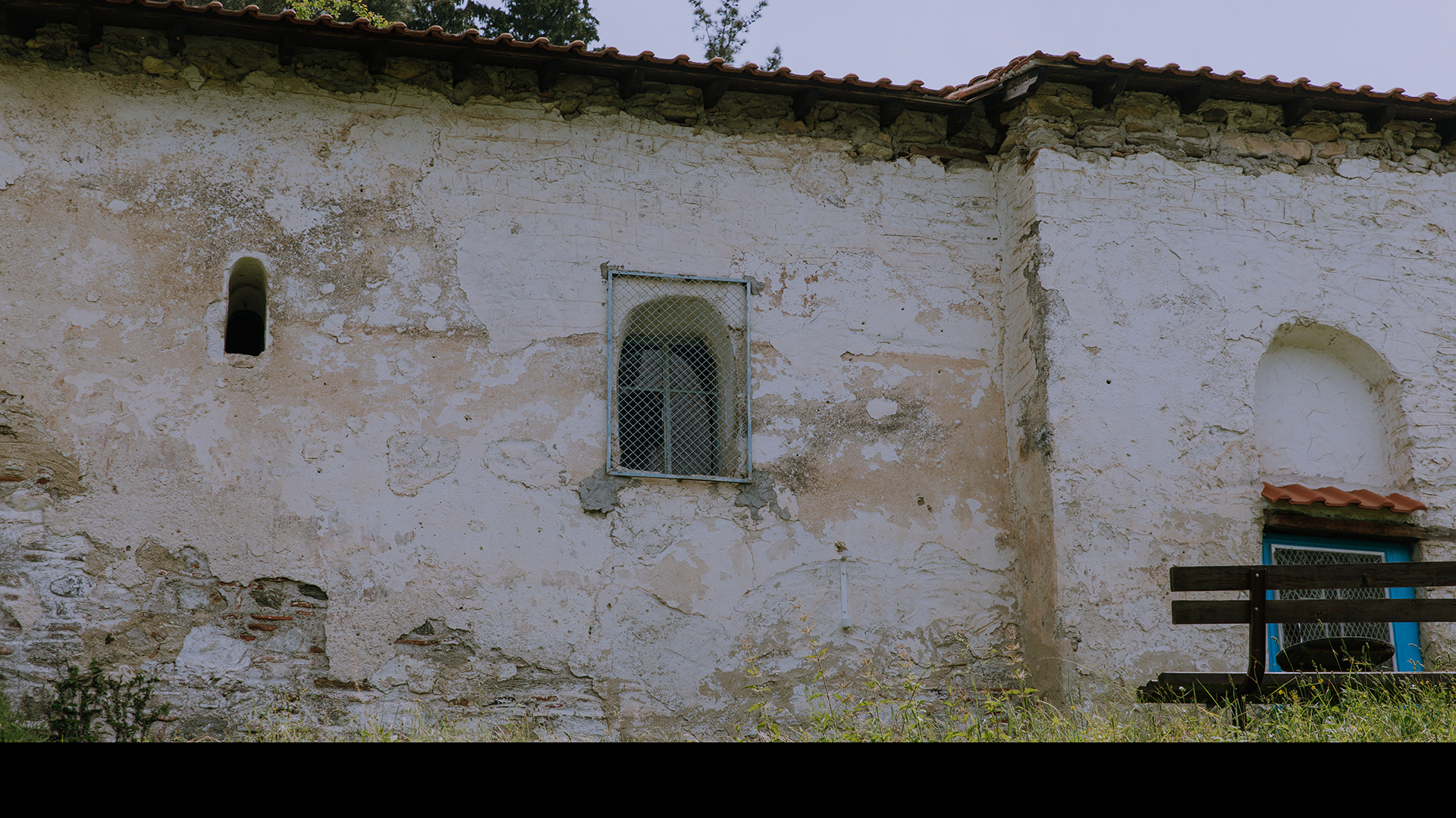
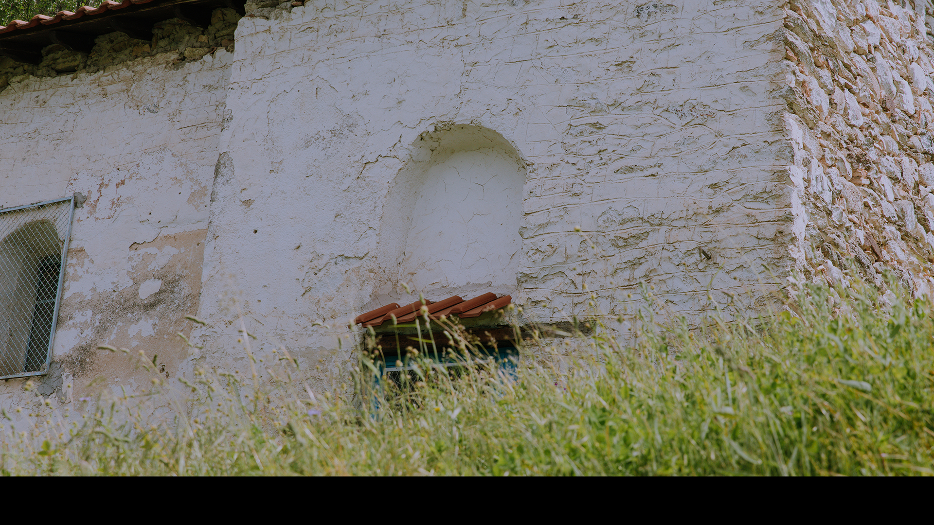
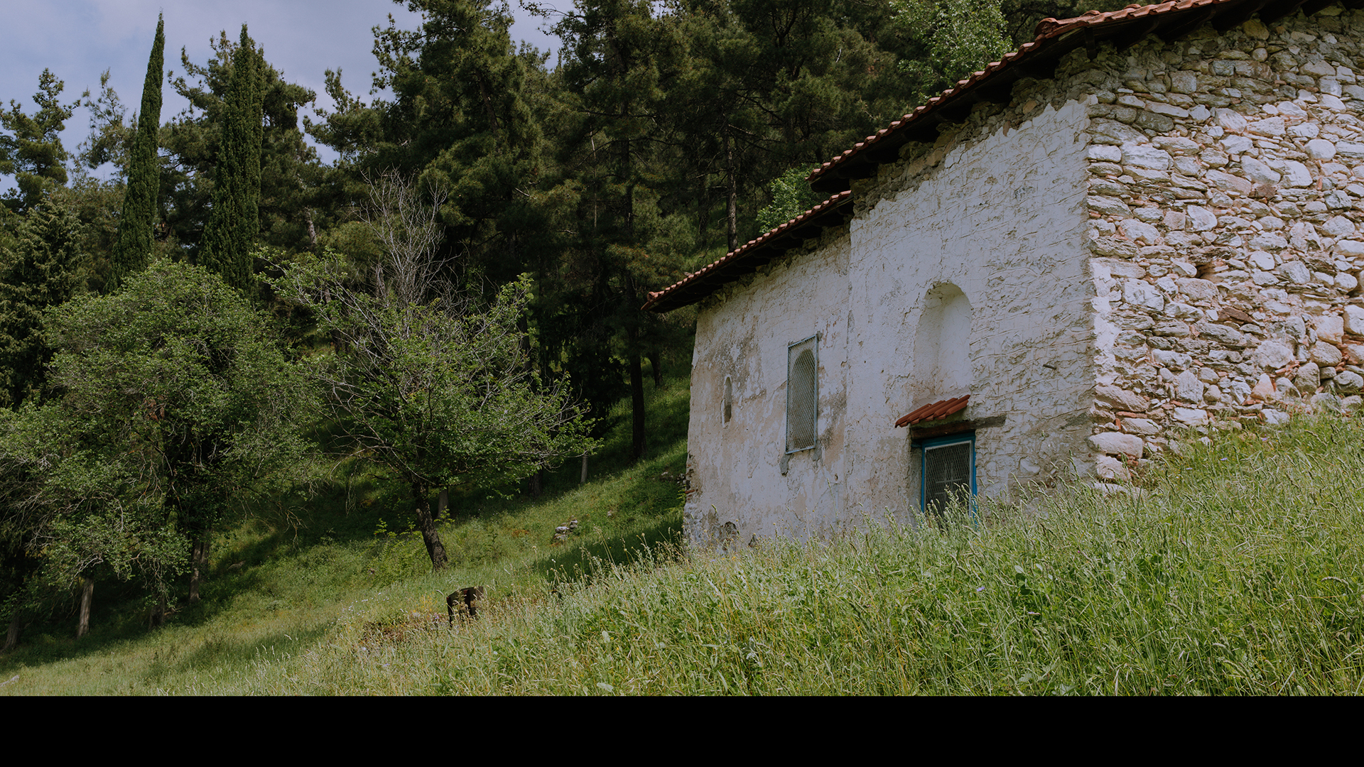
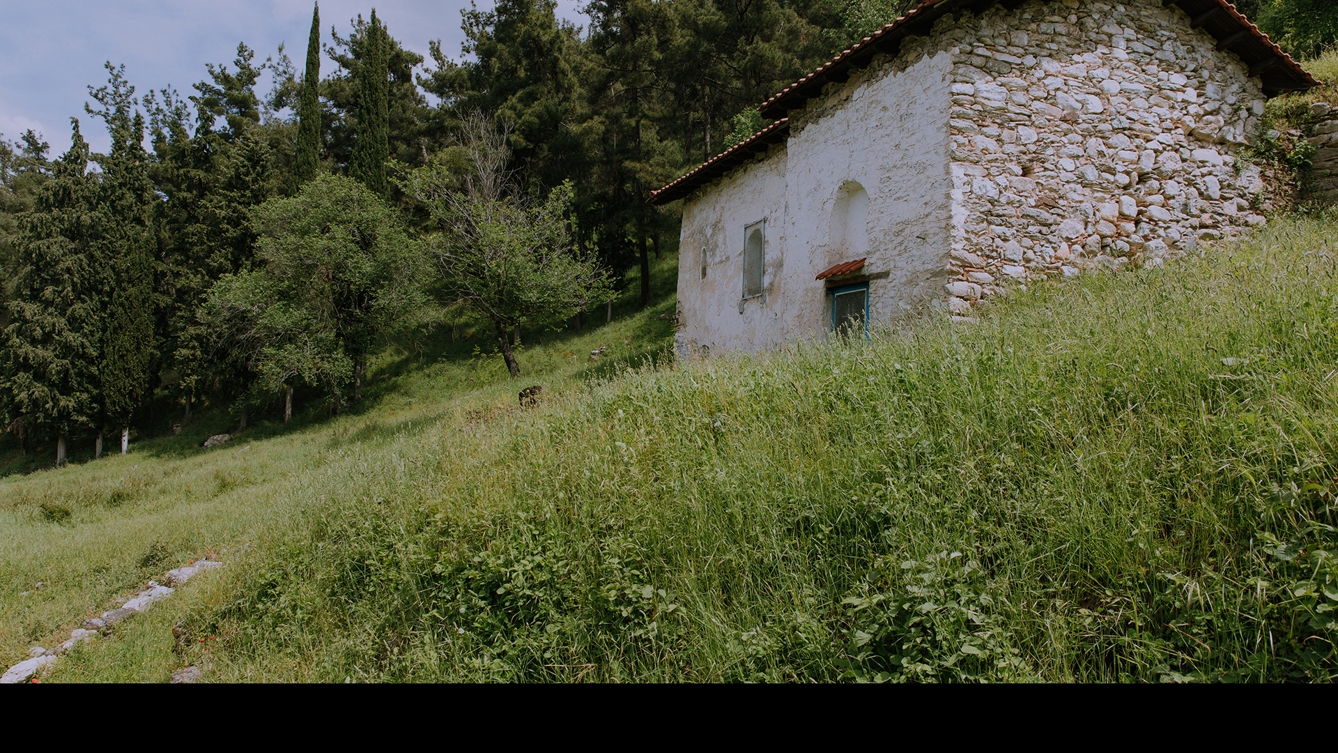
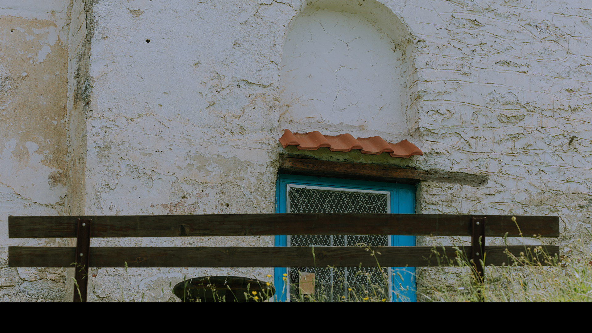
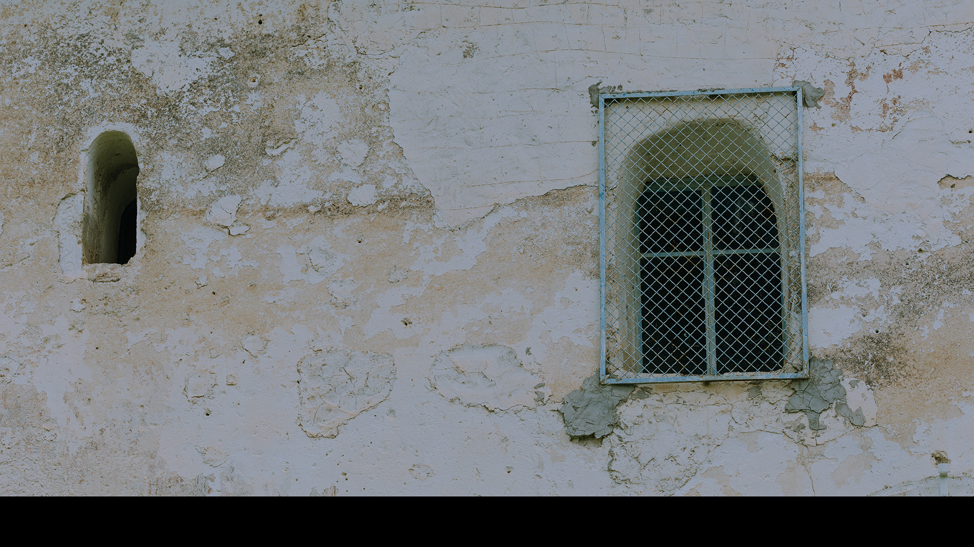
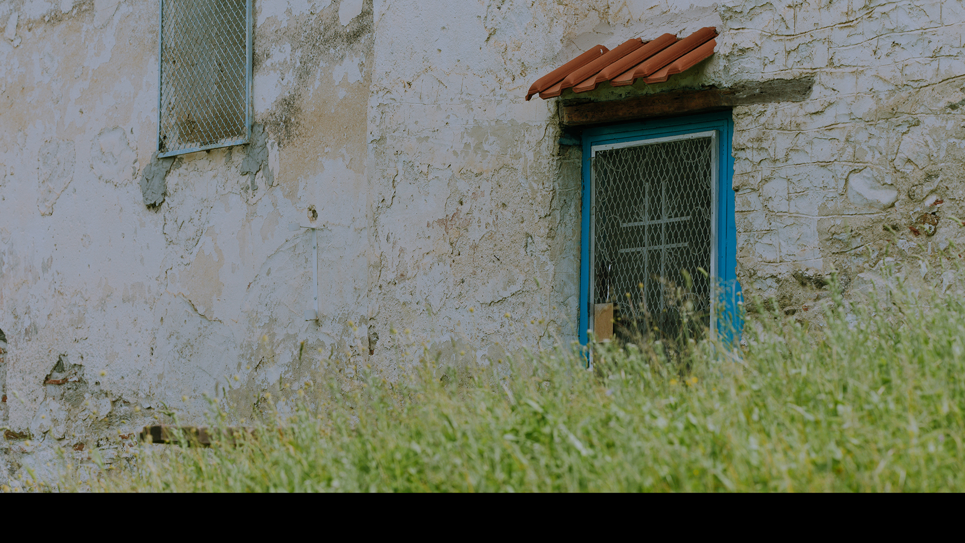
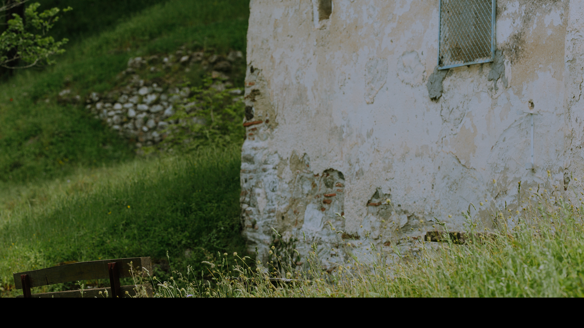
CHURCH OF SAINT JOHN
Near the northern part of the Castle Town walls is located the church of Saint John the Baptist, a small single-nave basilica dating back to the 14th century AD.


In the past, the building was the chapel of a small monastery that no longer exists, but small sections of the enclosure are still preserved.
1/10
2/10
3/10
4/10
5/10
6/10
7/10
8/10
9/10
10/10
Within the surroundings of the Castle of Servia, and, specifically, on the road leading up to the northern part of its wall, stands the holy church of Saint John the Baptist. Although its present form does not reflect the glory of the past, it is nevertheless surrounded by a rich history. It was built around the 14th century. The surviving building is the chapel of a small monastery, which does not exist today, but small parts of the churchyard have been preserved. It is a small single-aisled basilica with a single central arch. While inside the church, a few fragments of the frescoes still survive.

The bouboulia was a tree which, according to the legend, was located a few meters away from the stone bridge of Servia, on the road that prior to the Ottoman occupation connected the inhabitants living inside the castle of Servia with the valley, and from there with the rest of Macedonia. Since the 6th century AD, the need to connect the castle with the rest of the town had prompted the inhabitants to build a bridge, but it was unstable and very often, when the stream of Agios Georgios swelled, it was destroyed. Until a new one was built during the post-Byzantine period, made of stone and with great craftsmanship, in order to withstand both the people and their animals with loads as they climbed from the Christian quarter to the Byzantine hill. Besides, the Ottomans needed it, as they had set up a garrison inside the castle, which they maintained until about 1850. That is why the elderly resident of Servia wanted to see Greeks at that point, because their presence would automatically mark the throwing off of the Ottoman yoke.
Many years later, the desired freedom had been gained. The castle was deserted, but the stone bridge remained in place to protect the passerby from the waters of the torrent, which, however, had lost its force. The young people of Servia continued to visit it, and it was a spot that for decades was used as a meeting place and a place for socializing. The stone bridge of Servia remained as such until 1970, when an improved asphalt road was built leading more easily to the castle.
In 2016, with the work carried out and the relevant project study, its structural adequacy was restored and maintained, and cleaning and sanitation work was carried out in the surrounding area of the bridge.
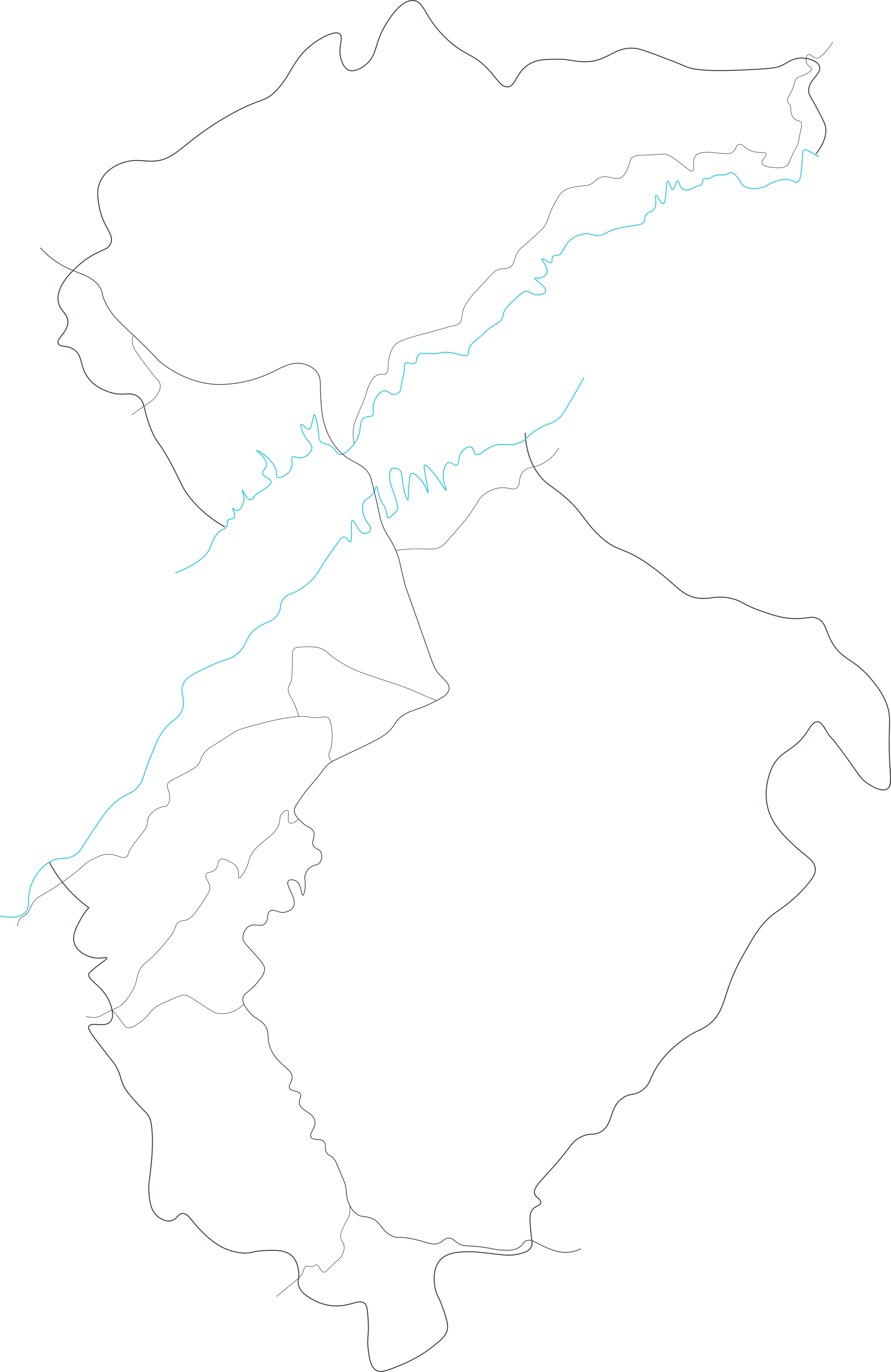
HALIACMON RIVER
It is the longest river in Greece, gathering the water of the mountains of Western and Central Macedonia, and giving life to a large part of the country before flowing into the Gulf of Thermaikos.
- The Castle
- The Town
- The River


Folklore Museum
Housed in the home of Dr. Aristidis Christakis, the purpose of the museum is the preservation and dissemination of the historical heritage and tradition of the region.


Servia
The name “Servia” derives from the Latin verb "servo" meaning "to watch, observe", reflecting the city's position as an impregnable fortress in earlier times.


Haliacmon River
It is the longest river in Greece, gathering the water of the mountains of Western and Central Macedonia, and giving life to a large part of the country before flowing into the Gulf of Thermaikos.
Download the app

